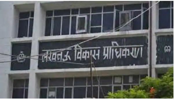
LDA will keep an eye on illegal constructions through GIS mapping. Work is going on fast for this. On Friday, Authority Secretary Pawan Kumar Gangwar held a meeting with the officials responsible in this matter. He has directed to complete the work of GIS One Map at the earliest.
With the creation of GIS One Map, the authority will be able to get information about illegal constructions sitting from the office. In this it will continue to get satellite images of the buildings under construction. This will allow you to know where the building is being built. If any building will be sealed and it will be re-constructed, then information will also be given about it. The LDA Secretary asked the officers to secure the GIS data collected by conducting land audit of LDA development area in the year 2016. It will be superimposed on the plans of the authority.
He has also directed to prepare an action plan to make it continuously useful in the interest of the Authority. The secretary has asked the organization working on the master plan, Sajra and satellite image to complete its work at the earliest. He said that this would keep an eye on the legal and illegal constructions taking place in Lucknow development area. Action can also be taken against them as per rules. Chief city planner Nitin Mittal, Devansh Trivedi, programmer analyst Raghavendra Mishra were also present in the meeting.


Leave a Reply